
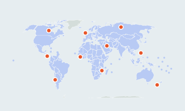
World Map Quiz
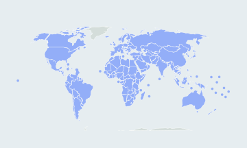
195 countriesSmall places have round markers · Ctrl + scroll to zoomTwo fingers to pan and zoom
Find every country in the world on a blank, interactive map and label it as you go, or warm up with a quick round of 20. Free, no sign-up.
How many countries are in the world?
This quiz asks 195 countries, the 193 members of the United Nations plus its two observer states, Vatican City and Palestine. Lists that also count Kosovo and Taiwan give 197. Both are drawn hatched on the map and are not asked, and neither is Western Sahara. Each question names a country; click its location and the map labels it.
- 195countries asked
- 5continents in the lists below
- Russialargest by area
- Vatican Citysmallest, inside Rome
The countries of the world by continent
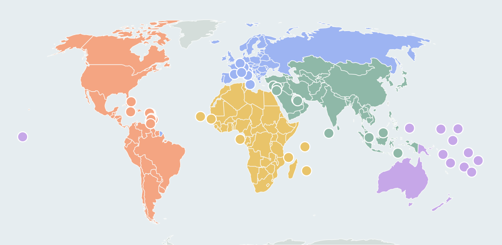
The lists follow the UN geoscheme, which puts Russia in Europe, Turkey and Cyprus in Asia, and the Caribbean and Central America in the Americas. After a full round the result names the part of the world you missed most.
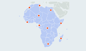
Africa54
Algeria, Angola, Benin, Botswana, Burkina Faso, Burundi, Cabo Verde, Cameroon, Central African Republic, Chad, Comoros, Côte d'Ivoire, Djibouti, DR Congo, Egypt, Equatorial Guinea, Eritrea, Eswatini, Ethiopia, Gabon, Gambia, Ghana, Guinea, Guinea-Bissau, Kenya, Lesotho, Liberia, Libya, Madagascar, Malawi, Mali, Mauritania, Mauritius, Morocco, Mozambique, Namibia, Niger, Nigeria, Republic of the Congo, Rwanda, São Tomé and Príncipe, Senegal, Seychelles, Sierra Leone, Somalia, South Africa, South Sudan, Sudan, Tanzania, Togo, Tunisia, Uganda, Zambia, Zimbabwe
Americas35
Antigua and Barbuda, Argentina, Bahamas, Barbados, Belize, Bolivia, Brazil, Canada, Chile, Colombia, Costa Rica, Cuba, Dominica, Dominican Republic, Ecuador, El Salvador, Grenada, Guatemala, Guyana, Haiti, Honduras, Jamaica, Mexico, Nicaragua, Panama, Paraguay, Peru, Saint Kitts and Nevis, Saint Lucia, Saint Vincent and the Grenadines, Suriname, Trinidad and Tobago, United States, Uruguay, Venezuela
Asia48
Afghanistan, Armenia, Azerbaijan, Bahrain, Bangladesh, Bhutan, Brunei, Cambodia, China, Cyprus, Georgia, India, Indonesia, Iran, Iraq, Israel, Japan, Jordan, Kazakhstan, Kuwait, Kyrgyzstan, Laos, Lebanon, Malaysia, Maldives, Mongolia, Myanmar, Nepal, North Korea, Oman, Pakistan, Palestine, Philippines, Qatar, Saudi Arabia, Singapore, South Korea, Sri Lanka, Syria, Tajikistan, Thailand, Timor-Leste, Turkey, Turkmenistan, United Arab Emirates, Uzbekistan, Vietnam, Yemen
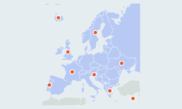
Europe44
Albania, Andorra, Austria, Belarus, Belgium, Bosnia and Herzegovina, Bulgaria, Croatia, Czechia, Denmark, Estonia, Finland, France, Germany, Greece, Hungary, Iceland, Ireland, Italy, Latvia, Liechtenstein, Lithuania, Luxembourg, Malta, Moldova, Monaco, Montenegro, Netherlands, North Macedonia, Norway, Poland, Portugal, Romania, Russia, San Marino, Serbia, Slovakia, Slovenia, Spain, Sweden, Switzerland, Ukraine, United Kingdom, Vatican City
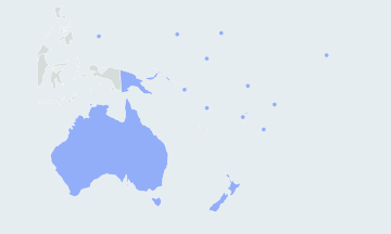
Oceania14
Australia, Fiji, Kiribati, Marshall Islands, Micronesia, Nauru, New Zealand, Palau, Papua New Guinea, Samoa, Solomon Islands, Tonga, Tuvalu, Vanuatu
Hardest countries to find on the world map
On a map of the whole world, about forty countries are too small to click as shapes. Each has a small ring. Zoom in, or tap near one and the quiz takes the nearest small country; when two are too close to call, it zooms in instead.
- Europe's microstatesVatican City, Monaco, San Marino, Liechtenstein, Andorra, Malta
- Caribbean islandsSaint Kitts and Nevis, Antigua and Barbuda, Dominica, Saint Lucia, Saint Vincent and the Grenadines, Grenada, Barbados
- Pacific islandsNauru, Tuvalu, Palau, Marshall Islands, Kiribati, Micronesia, Tonga, Samoa
- Small on the mainlandGambia, Eswatini, Lesotho, Rwanda, Burundi, Djibouti, Lebanon, Israel, Palestine, Kuwait, Qatar, El Salvador
Names people mix up
- Niger · Nigeria
- Niger is the large Sahel country directly north of Nigeria.
- Slovakia · Slovenia
- Slovakia lies north of Hungary, between Czechia and Ukraine. Slovenia is the small Alpine country between Italy and Croatia.
- Austria · Australia
- Austria is a landlocked country in central Europe; Australia is the island continent of Oceania.
- Dominica · Dominican Republic
- The Dominican Republic shares the island of Hispaniola with Haiti. Dominica is a small island much further east, between Guadeloupe and Martinique.
- Iran · Iraq
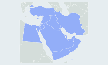
- Iraq is the smaller one to the west, between Syria and Iran.
- Guinea · Guinea-Bissau · Equatorial Guinea · Papua New Guinea
- The first three are in Africa, with Guinea-Bissau on Guinea's northwest coast and Equatorial Guinea beside Cameroon. Papua New Guinea shares the island of New Guinea with Indonesia, north of Australia.
How to memorize the world map
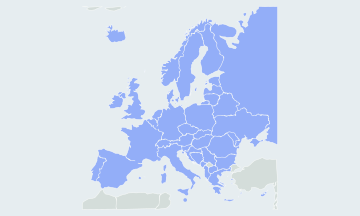
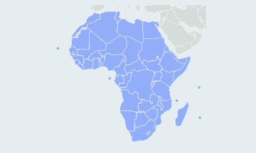
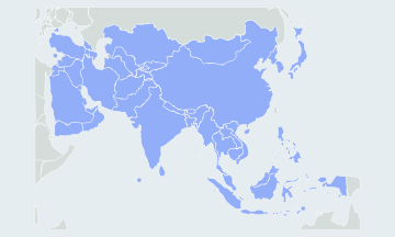
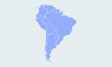
- Learn one continent at a time in the Africa, Europe and Asia map quizzes, then come back to the whole world. A single continent is also the easier start for kids.
- Start with a Quick 20 the quiz opens on a Quick 20, twenty countries picked at random, and countries you have missed before come up more often. Choose All 195 for the whole set.
- Replay only your misses with Practice the ones you missed. When you come back another day, the quiz offers a round of the countries you have not yet mastered.
- Hide the borders for a harder round, once the shapes look familiar. The map then shows only the outline of the land, and you place each country from the coasts and the countries you have already found.
Other names you may know
The quiz uses short English names. Turkey is also Türkiye, Czechia the Czech Republic, Myanmar Burma, Eswatini Swaziland, Timor-Leste East Timor, Cabo Verde Cape Verde and Côte d'Ivoire Ivory Coast. DR Congo is the Democratic Republic of the Congo; the Republic of the Congo is its western neighbour.
Questions
Why are Kosovo, Taiwan and Western Sahara not asked?
They are not UN member or observer states, and lists differ on whether to count them. They are drawn hatched so the map has no gaps, and a click on them does not count as an answer.
Can I play a shorter round?
Yes. The quiz opens on a Quick 20, twenty countries picked at random; countries you have missed before come up more often. Play again for a new set.
Does the quiz work on a phone?
Yes. Tap a country to answer. Use two fingers, or the + and − buttons, to zoom and move the map; one finger scrolls the page. In full screen the map takes every gesture.
Where does the map come from?
The borders come from Natural Earth at 1:50m scale, a public-domain dataset, simplified for a map of the whole world. The smallest states are shown as rings.
Scores stay in this browser. How AtlasWhiz saves your progress