
About AtlasWhiz
AtlasWhiz is a set of free geography games: map quizzes for the world, the continents, the US states and Canada, plus capital and flag quizzes. Each quiz opens ready to play: you answer, see the right answer when you miss, and can replay only your mistakes until you know them.
How the quizzes are built
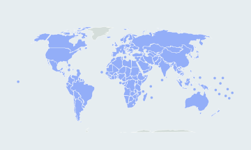
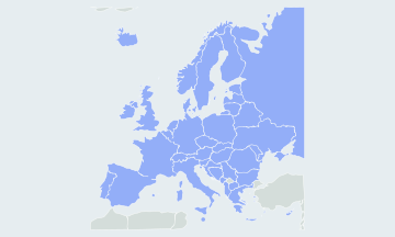
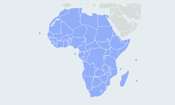
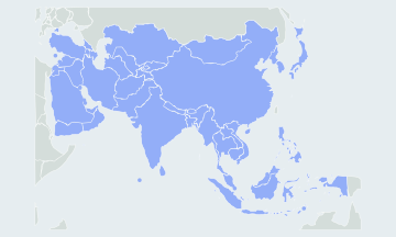
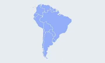
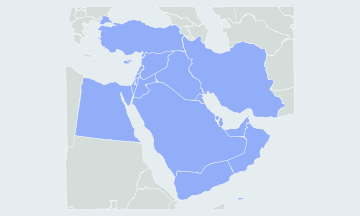
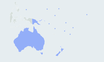
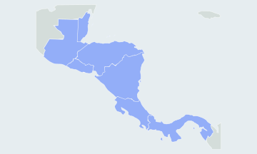
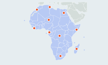
- Country maps: borders come from Natural Earth, a public-domain map dataset, via the world-atlas package (ISC licence). They are projected and simplified when the site is built, so every map loads as one small file.
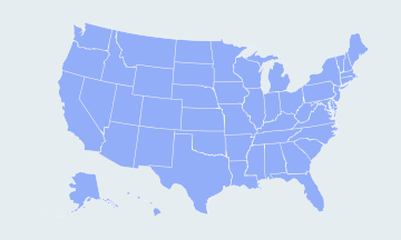
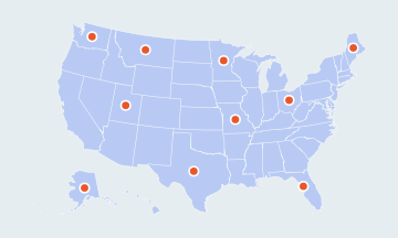
- US states: boundaries come from the US Census Bureau cartographic files via the us-atlas package (ISC licence).
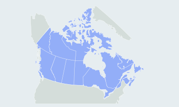
- Canadian provinces: boundaries come from Natural Earth via the sane-topojson package (MIT licence).
- Flags: flag images come from the flag-icons project (MIT licence).
- Country lists and capitals: each quiz follows the UN member-state list and the UN geoscheme for its region. Disputed territories are drawn but not asked, and each quiz page says which ones. Where a country has more than one capital, the quiz explains the others after you answer.
- Your data: scores and best times stay in your browser. There are no accounts.
How AtlasWhiz saves your progress
- Best scores: after each round the quiz keeps your best score and time in this browser, separately for practice and timed rounds, for each region played on its own and for quick rounds.
- Unfinished rounds: a round is saved after every answer. Come back to the quiz, or use Continue in the menu, and you can pick it up where you stopped, clock included, for two weeks.
- Where it is kept: in your browser’s local storage on this device only. There is no account, and progress does not follow you to another browser or device. Clearing this site’s data resets it.
Contact
Found a wrong border, a misspelled name or a country that is hard to click? Write to hi@atlaswhiz.com.